Previous webinars:
2026:
JAN. ’26: GIS: PUTTING DISASTER RESPONSE ON THE MAP
How can GIS, mapping, and field-based data collection serve
as critical tools for faithful disaster response and Gospelcentered
ministry? Drawing from real-world deployments in
North America and international contexts, Jon will illustrate
how timely, primary-sourced data improves situational
awareness, guides life-saving decisions, and ensures aid
reaches the right people at the right time. More than a
technical discussion, this talk frames GIS as stewardship—
leveraging information to maximize the impact of limited
resources, strengthen partnerships with local churches, and
support humanitarian work that meets urgent physical needs
while providing a credible platform for sharing to the love and
hope of Jesus Christ. times of crisis
2025:
JUL. ’25: Every Somewhere Sacred: Rescuing a Theology of Place in the American Imagination
Our identity as followers of Jesus can and should transform how we live in the physical world. We need a far more expansive Christian imagination for land and place. Common American narratives that reduce land to commodity, or irrelevant background miss the consistent emphasis in the biblical story that God created and cares for land and place. We should grapple with complicated American histories of land and Indigenous people, race and social class, and reapproach Biblical themes of land as home, gift, sacrament, and kin to help prompt Christian groups and individuals to work toward a Christian vision of land mattering in the past, present, and future. We can recover Christian practices for living faithfully as members of our human geographies. And perhaps most importantly, we can receive the world itself as the gift it was intended to be.
APR. ’25: Experiencing Spatial Analytics in Business
In this webinar, Dr Girju (professor of marketing and analytics) and her students will present a series of hands-on, experiential studies in spatial analytics in business developed in their Spatial Analytics in Business class at California Baptist University. Students will present a study of church membership at a medium size church with 4 locations in the Inland Empire area. Other projects with non-profits and churches will be described. Much more can be accomplished by Christians in GIS, so Dr Girju will make a call for stronger connections with the Christian GIS and Christian business world.
FEB. ’25: Sutherland Maps: Exploring God’s Creation, One Map at a Time
Exploring God’s Creation, One Map at a Time. That’s been my goal while hand drawing maps for over a decade now. And in a greater sense glorifying God through the process. During February’s webinar you’ll hear the theology behind making maps, see my process for hand drawing them, and Lord willing be inspired to make your own.
2024:
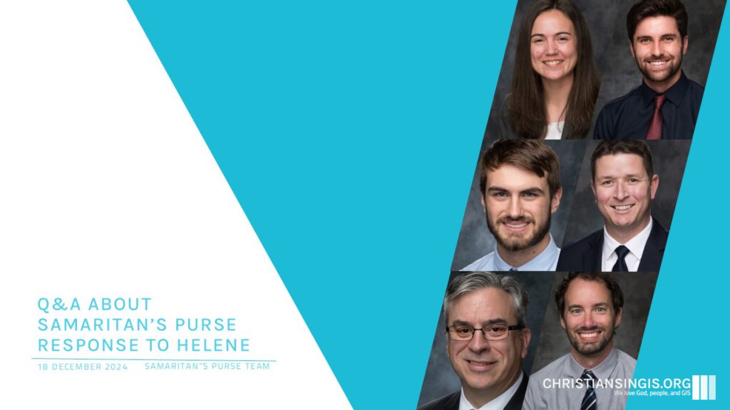
DEC. ’24: Q&A about Samaritan’s Purse response to Helene
Hurricane Helene, a category 4 hurricane that came ashore late on September 26th in the Big Bend region of Florida, became an overwhelming tropical storm once it slowed over the Southeast United States, devastating a large swath of the Appalachian Mountains with torrential rains and wind. The rains soaked the high country of Western North Carolina and Eastern Tennessee, causing widespread flooding that was beyond many people’s wildest expectations. Samaritan’s Purse’s backyard is Western North Carolina, so we quickly became both those affected by the storm and those that were responding to the needs among our neighbors and friends. Our GIS groups in both North American Ministries and International Projects were called in to help with analysis of the impacts and how we could best respond.
NOV. ’24: Communicating Creation’s Testimony: thoughts on theology, environment & GIS
I greatly appreciate the invitation to share some thoughts at the intersection of life, faith, and practice. I hope to introduce, or revisit with, you how we as Christians are called to care for the earth and what this may mean as we seek to fulfill the Great Command (to love God & neighbor) and Great Commission (to make disciples). As GIS practitioners we regularly engage with both Creation and our neighbors and I hope to encourage you by looking at how Paul accomplishes this in Acts as he engaged with the Greek community.
APR. ’24: Data Analytics for Adaptive Management
Explore how data analytics tools play a crucial role in humanitarian emergency response. We’ll delve into topics such as satellite imagery, damage assessment models, and other powerful analytical tools. Discover how these tools enhance preparedness, response, and recovery efforts during crises. In times of crisis, efficient and impactful emergency operations are essential for saving lives and supporting communities. This webinar aims to highlight the importance of data analytics in achieving these goals.
MAR. ’24: Open Language Research & GIS
Case study on using an open GIS stack for geo-linguistic research, generating area polygons, and also automation of scoring and analytics. These polygons were subsequently incorporated into a public, highly interactive web GIS application, which was developed using JavaScript platforms and PostGIS.
FEB. ’24: Theo-Geo: expanding biblical understanding with place names
Biblical place names can often expand our understanding of Scripture. This session by Mark Cygan covered multiple geospatial resources available for your study beyond your trusty Bible Atlas and envisioned how we can Geo-enable scripture to gain deeper insights.In the last part of the sessions part participants ask questions and also discuss and share several sources for biblical Geo information.
JAN. ’24: EMPATHY Mapping: a tool to serve People better
This session introduced empathy mapping for GIS professionals, emphasizing its role in improving user experience in GIS projects. We’ll examine key empathy mapping questions, highlighting their importance in developing user-focused GIS applications.
Questions for Empathy Mapping entail: What does the user see? What does the user hear? What does the user think and feel? and What are the user’s pains and gains?
2023:
DEC. ’23: Mapping the World’s Languages
Unlock the Power of GIS in Missionary Work and Beyond: In this captivating YouTube presentation, Matt Benjamin embarks on a fascinating exploration of SIL International’s GIS team’s innovative journey. From the early days of utilizing Global Mapping International (GMI) tools to the cutting-edge transition to ArcPro, viewers are taken on a historical dive that highlights the evolution of GIS technology in support of missionary and language preservation projects.
NOV. ’23: Geographic information systems in education
Join Geographer and Esri Education Manager Joseph Kerski as we discuss why and how GIS is being taught around the world, and future prospects of GIS in primary, secondary, informal, and higher education. Embedded in the discussion will be demonstrations of hands-on activities with students, teaching strategies, why GIS education matters, and how you can connect to the education community.
OCT. ’23: IMPLEMENTING GIS AT MISSION AVIATION FELLOWSHIP
In the past six months since my arrival at MAF-US, we have implemented a wide variety of GIS solutions to MAF’s staff. Given MAF-US non-profit status, we have highly leveraged Esri’s very generous non-profit program software package. This software has included ArcGIS Online, ArcGIS Enterprise, ArcGIS Pro, Drone2Map, Collector, and Survey123.
SEP. ’23: The Practice of Virtue Driven GIScience
Ethics in GIS has become a hot topic in recent years. From conversations guided by EthicalGEO to the American Association of Geographer’s initiatives to implement locational data ethics in the classroom to conferences such as AutoCarto2022’s focused theme Ethics in Mapping: Integrity, Inclusion, and Empathy, GIS practitioners can hardly miss some touch point on ethics.
JUN. ’23: The Butterfly effect and arcmap
We will follow a project which began as helping someone at Global Recordings Network, a missions organization, learn ArcMap. The project grew from this to creating an interactive map on the internet for the organization. Most of the webinar will be demonstrating the map and seeing how Leaflet and Enterprise ArcGIS Server were used to create the map.
MAY. ’23: The Coalition of the Willing
The story of how a group of church planters desiring to plant churches in every village and neighborhood are coming together around shared geographic data to strategically plant churches where there is no church.
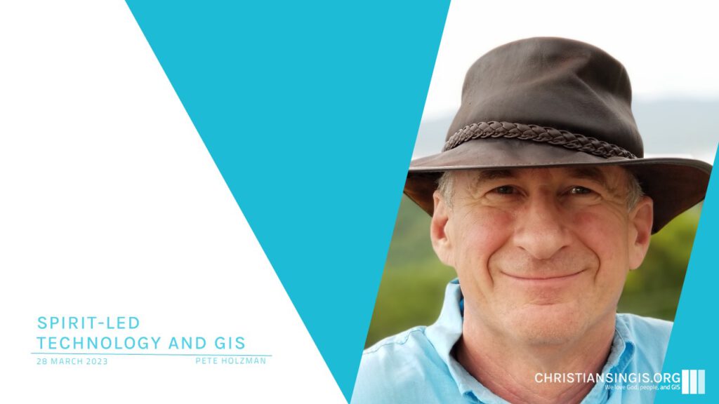
MAR. ’23: Spirit-Led Technology
We are all taught that modern tools empower us to manage with insight and innovation in our efforts to make the world a better place, and for faith-based initiatives to produce great outcomes for God’s Kingdom. Yet… we also believe Jesus is Lord over all. Pete will review how that conflict came to a head for him (a high-end numbers guy), how that has worked out in the past, present, and practical examples of how you can move toward a future of radically God-driven perspective in your own work. We’ll leave plenty of time for Q&A in this workshop.
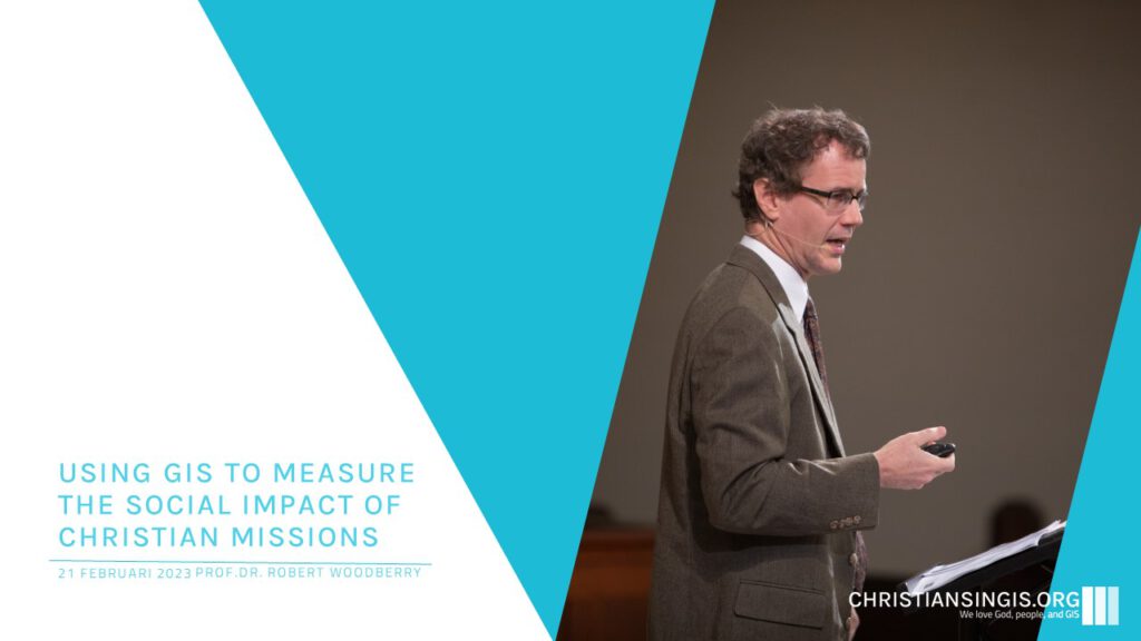
FEB. ’23: Using GIS to Measure the Social Impact of Christian Missions
What kind of impact have missionaries made on the world? Have they harmed the world by merely exporting western values, or have they improved the world? Robert Woodberry addressed these questions and more: by examining historical patterns and statistics between 1820 and 1920, he explains how missionaries have influenced healthcare, education, printing, social reform, economic development, and democracy.
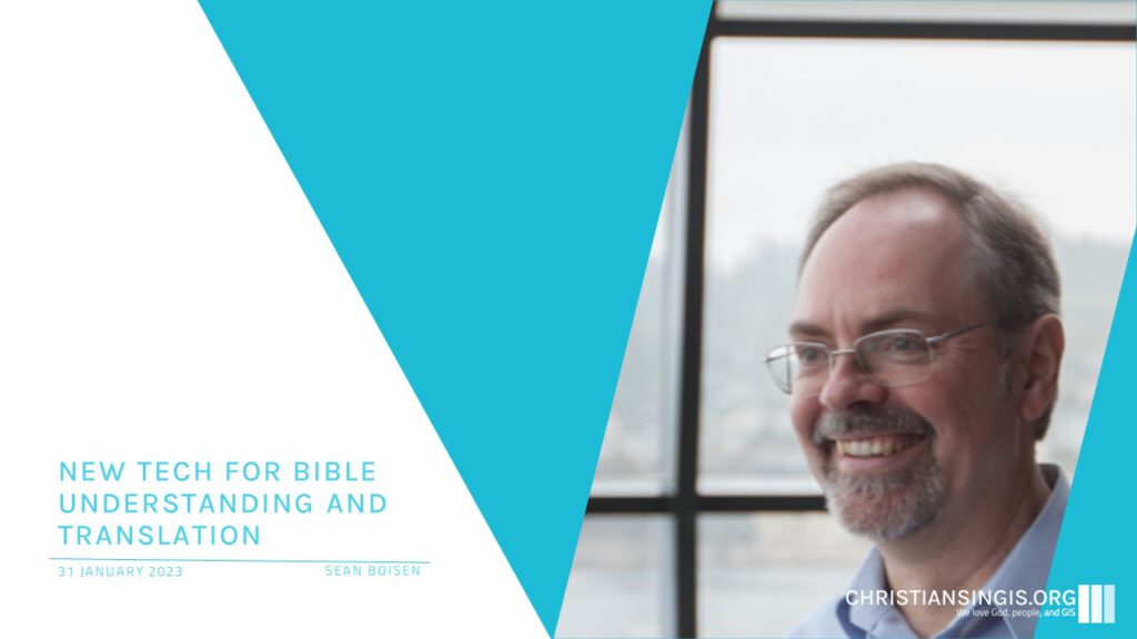
JAN. ’23: New Tech for Bible Understanding & TranslatioN
How do maps and GIS data help pastors, scholars, and others better understand the biblical text? What new linguistic and AI technologies are being applied to accelerate Bible translation for the thousands of languages without a complete Bible? This presentation will demonstrate some tools in Logos Bible Software, and then turn to the tools that Clear Bible is building today to help eradicate Bible poverty.
2022:
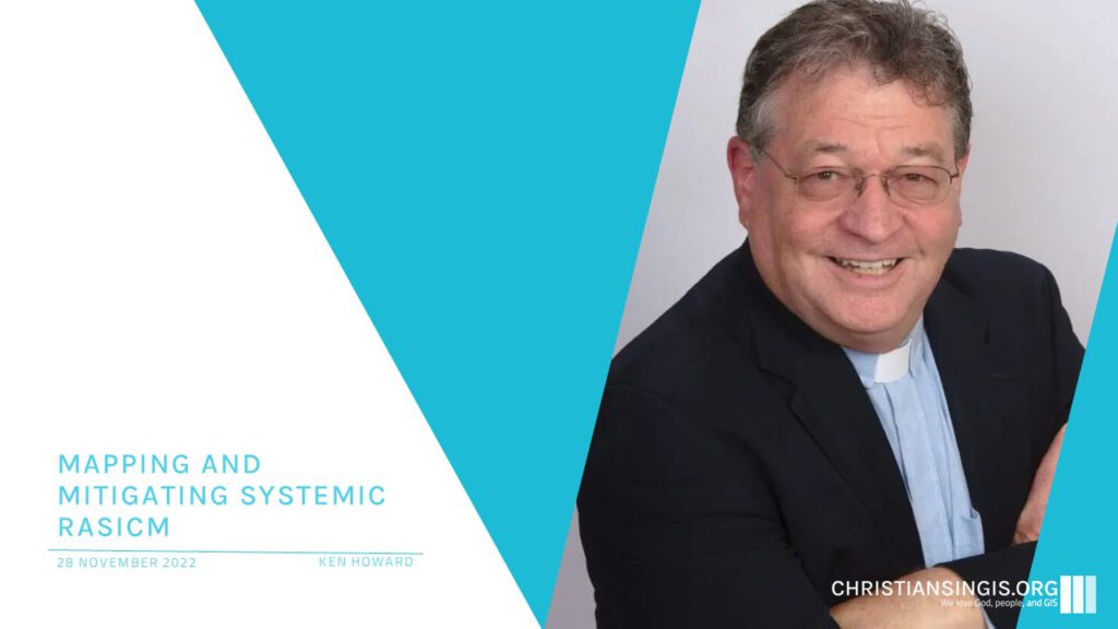
NOV. ’22: Mapping & mitigating systemic racism
Ken Howard shared how FaithX uses ArcGIS and StoryMap technology to help congregation and judicatories identify and explore the origins of structural racism in their communities, how it specifically impacts their own neighborhood and faith community, and how they can develop effective interventions that displace the false US/THEM narrative of racism with a true and more powerful ALL US narrative.
2020:
DEC. ’20: WORLD VISION, GIS & STORYMAPS
This webinar features Chris Jansen who shares about his background and ways World Vision is using GIS. One use is showing assets of a large organization.
Chris gave some good examples of story maps. Here is one.
OCT. ’20: SAMARITAN’S PURSE
This webinar featured Michael Bishopp sharing how Samaritan’s Purse uses GIS.
OCT. ’20: ISHARE SYSTEM
Mike Waid describes iShare System which maps number of churches by admin areas around world.
MAR. ’20: AMERICAN LEPROSY MISSION
Leslie Zolman shares about her GIS work with American Leprosy Mission.
Leslie passed away in 2022.
JAN. ’20: MISSIONS IN PANAMA
Drake Sprague missionary with ALTECO living in Panama talks about his work mapping people groups in South America.