(Repost)
Mission Aviation Fellowship (MAF) is a Christian mission-based organization that has been using small aircraft for 80 years to provide help, hope and healing through aviation. Geography is a key component of MAF’s business, so the implementation of ArcGIS Enterprise and other Esri based tools has been a very natural evolution in technology use.

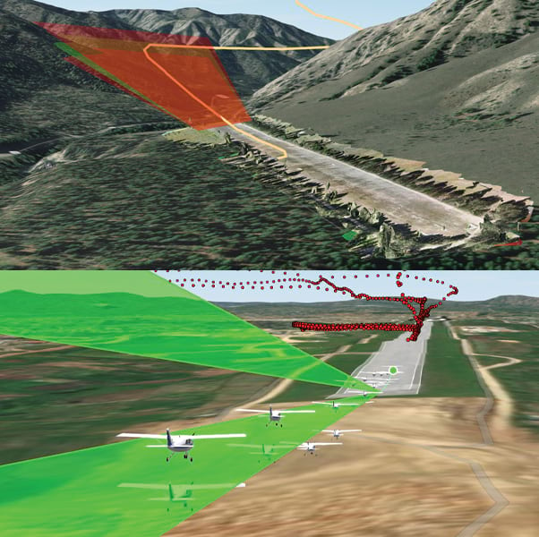
MAF uses GIS for logistics planning, training, risk management, storytelling and wide variety of other uses. The link below is an article from ArcNews Summer 2024 that talks about how MAF has been using GIS to help fulfill their mission:
https://www.esri.com/about/newsroom/arcnews/3d-gis-helps-maf-deliver-aid-to-isolated-communities
